 Dataregister Rijkswaterstaat
Type of resources
Available actions
Topics
Contact for the resource
Provided by
Years
Formats
Representation types
Update frequencies
status
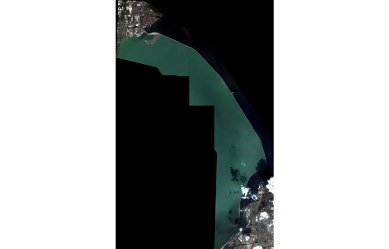
online bronnen
Scale
Resolution
From
1
-
10
/
2388