Orthofotomozaiek Haringvlietmonding 2024
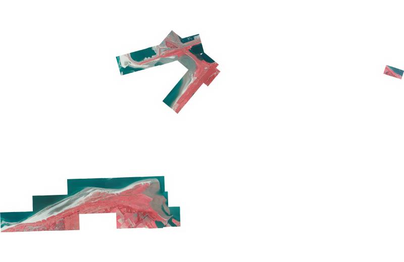
Orthofotomozaiek van het projectgebied Haringvlietmonding vervaardigd uit stereoluchtfoto-opnamen op 6-8-2024 ter ondersteuning van het vegetatie monitoringssprogramma in opdracht van WVL
Standard
dataIdentificatie
- Title
-
Orthofotomozaiek Haringvlietmonding 2024
- Date (Creation)
- 2024-08-06
- Unique resource identifier
- 4a94b4be-7eb7-4676-a036-0b61ad7f040a
- Status
- Completed
- Metadata language
- Nederlands; Vlaams
- Keywords
-
- Use limitation
-
Geen beperkingen
Legal constraints
- Use limitation
-
Geen beperkingen
- Access constraints
- Other restrictions
- Use constraints
- Other restrictions
- Other constraints
- Geen beperkingen
Security constraints
- Classification
- Unclassified
- Point of contact
-
individualName organisationName electronicMailAddress role Servicedesk Data
Rijkswaterstaat
https://www.rijkswaterstaat.nl/formulieren/contactformulier-servicedesk-data
Owner
spatialInfo
))
- Distance
- 0.1 meters
- referenceSystemIdentifier
- RD_New
- referenceSystemIdentifier
- NAP
DataQuality
- Hierarchy level
- Dataset
- Lineage
-
Product is vervaardigd volgens specificaties dienst luchtfoto´s en orthofotomozaieken versie 2.14 (7 maart 2024) van de CIV
Metadata
- Metadata language
- Nederlands; Vlaams
- Hierarchy level
- Dataset
- Metadata author
-
individualName organisationName electronicMailAddress role Servicedesk Data
Rijkswaterstaat
https://www.rijkswaterstaat.nl/formulieren/contactformulier-servicedesk-data
Point of contact
Overviews
Provided by
